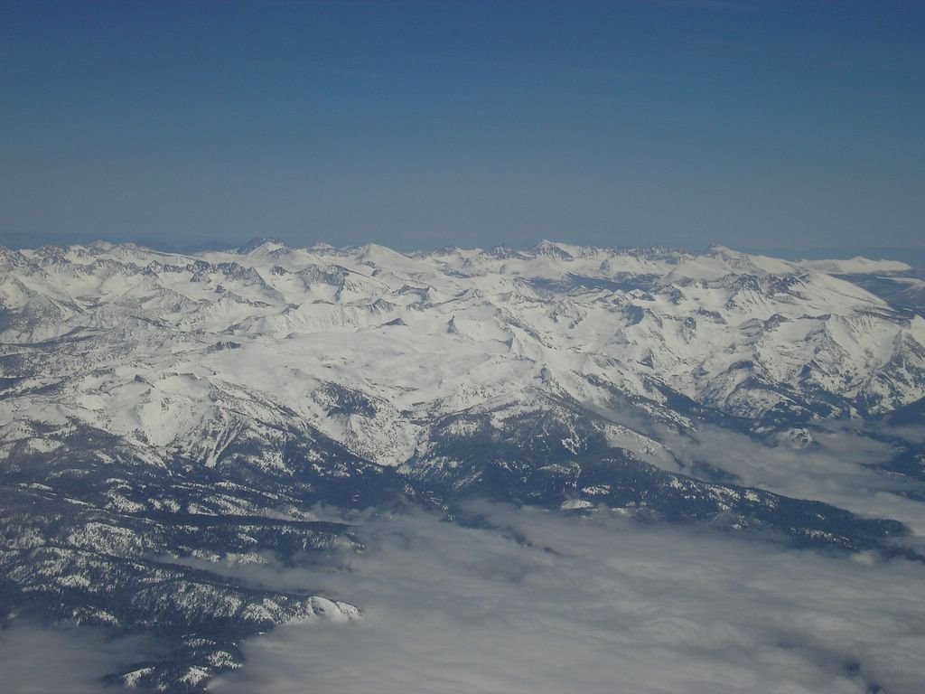
The Sierras from near Porterville, looking up towards Sequioa National Park and 14,497' Mount Whitney. Although Whitney is the tallest mountain in the lower 48 states, it's pretty tough to pick out from this angle because most of the mountains around it are only a few feet shorter.
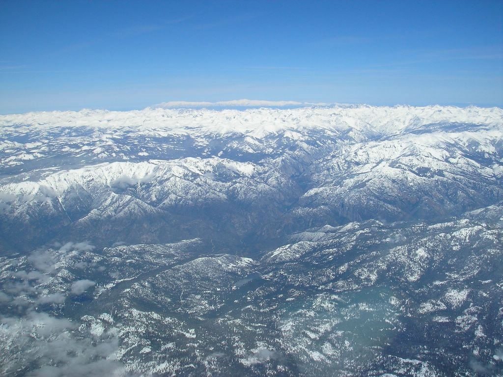
King's Canyon, just north of Sequoia. At the center of the picture, you can see where the North Fork and South Fork of the King's River meet.
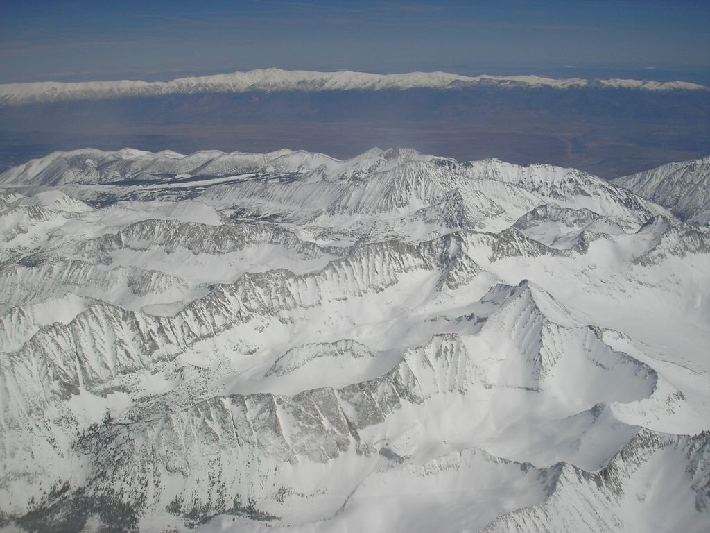
The High Sierra just west of Bishop, CA. It's been a very good year for snow in the Sierras, and I suspect the snowpack will last well into summer. Across the Owens Valley, you can see the White Mountains of Nevada.
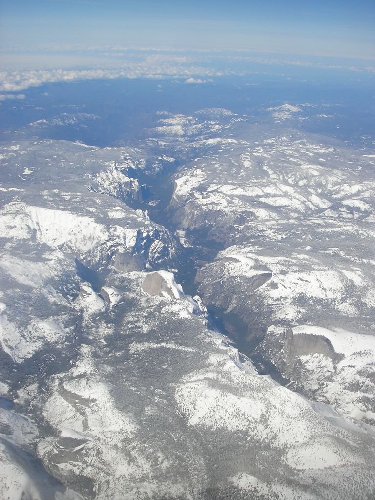
The Yosemite Valley, seen from the east side of the park. Near the center of the picture, Half Dome is visible (left side of the valley).

We were given a descent to 14,000 just before Lake Tahoe, so we got an excellent view of the lake and it's surroundings. We continued north over Truckee before turning east over I-80 for the descent into Reno.
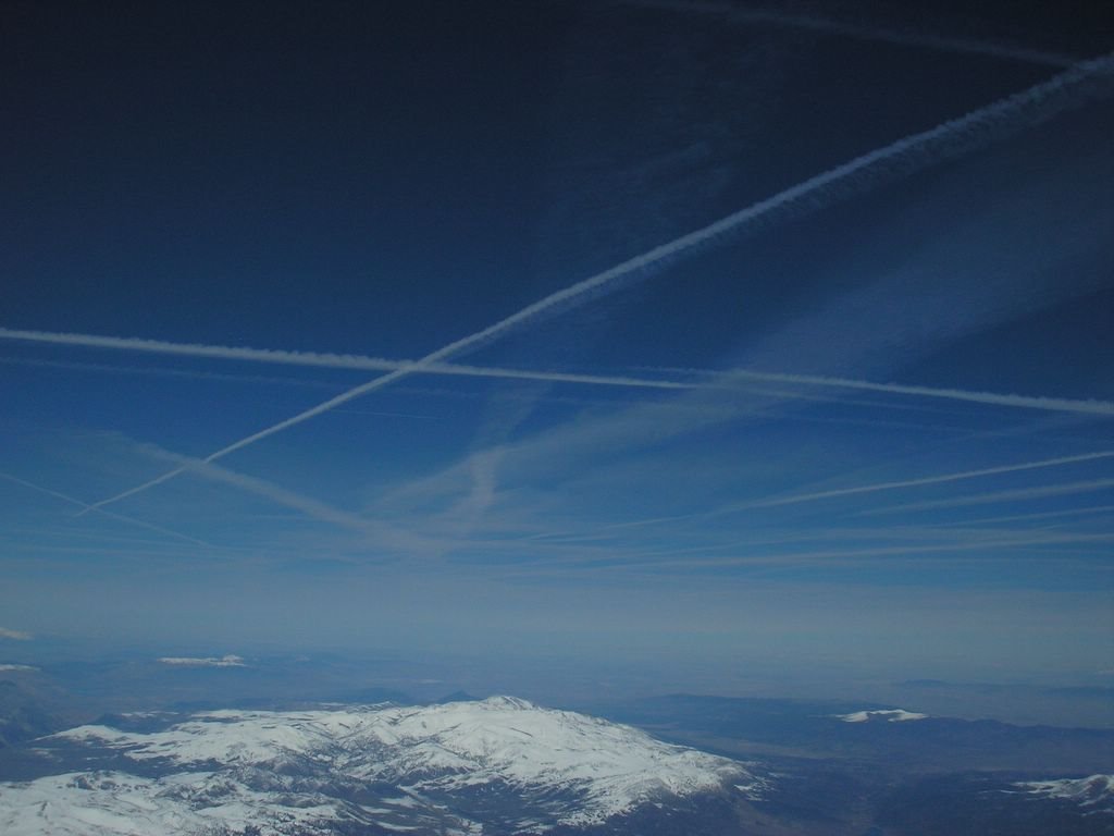
Contrails over Nevada.


2 comments:
Just Gorgeous. It's easy to love your job on day like that.
Great photos, Sam. Wonderful to see those snowy mountains from the air.
Post a Comment